
Avalanche Bulletin
更新日時: 2024/03/28 06:00
Myoko
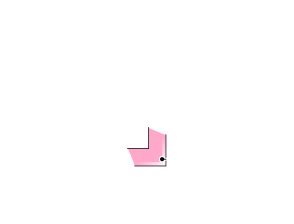
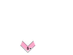
Alpine Low
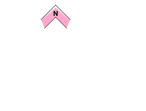
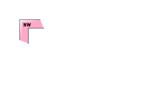
Treeline Fair Keep in mind solar radiation and temperature rise during the day
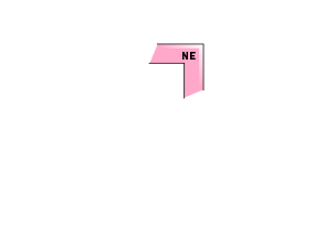
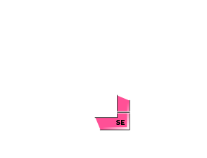
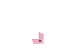
Below Treeline Fair Watch out for high daytime temperatures and solar radiation
信頼度:○ good □ Fair △ Low
Travel and Terrain Advice
In alpine areas, watch out for unstable slabs that remain in localized areas of extreme terrain. Also, be alert for slips and falls, as many areas have very hard exposed ice slabs. Very high temperatures are forecast for today, and even stronger solar radiation will have a significant impact on the snow. Please pay close attention to changes in the surface snow during the day. Avalanches caused by wet snow are very heavy and can easily topple people, even small ones. Combine that with the "terrain trap" factor, and the consequences can be serious. The weather in the Myoko area is currently very clear, but the forecast is for very rough weather starting this evening, so please plan your activities with this in mind. Don't forget sunscreen and plenty of water. Have a good day.
Avalanche Problem
ストームスラブ Storm slab


Watch out for unstable slabs that remain in extreme terrain pockets.
点発生湿雪雪崩 Wet Loose snow


Rating is as of morning. Note the effects of daytime solar radiation and high temperatures.
全層雪崩 Glide slab

Rating is as of morning. High temps are in the forecast with southerly winds. Be alert for extreme terrain with glide cracks.
概要
Avalanche
Yesterday (27th), several glide avalanches of size 1-1.5 were observed at lower elevations. Numerous snowballs were also observed.
Snowpack
Rainfall on March 26 created a hard Melt-Freeze layer with rain gullies down to the alpine area. Subsequent snowfall (10-30 cm) has been deposited on top of this hard ice by northerly winds. In areas where the wind is beating, ice layers are exposed. Avalanches have been reported in the alpines of the neighboring Hakuba mountain range in areas where fresh snow has accumulated locally. In addition, the residual cold air left clouds in the mid-elevation zone, so the effect of solar radiation on snow at lower elevations was weak. Notations for persistent slabs were removed as ice layers were forming to alpine areas.
Weather
Today, high pressure is expected to move east of Japan and low pressure with a front is expected to move into the Sea of Japan during the night. The Japan Meteorological Agency is forecasting a southerly wind, later slightly stronger, clear skies, cloudy from late afternoon, rain in places at night, and daytime high temperatures of 16 ºC (13 m elevation) for the Joetsu region of Niigata Prefecture. At Sasagamine, Myoko (elevation 1,310 m), the temperature is -2 °C (as of 4:45 a.m.), with no new snowfall in the past 12 hours.