
Avalanche Bulletin
更新日時: 2024/01/25 05:00
Niseko Yotei Yoichi Shiribeshi
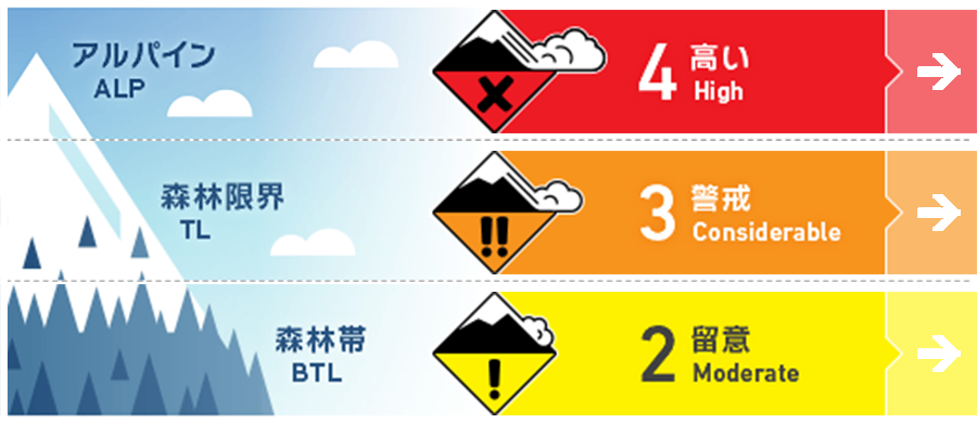
Alpine Fair Strong to gale north westerly winds will have produced slabs at higher elevations.
Treeline Fair Strong to gale north westerly winds will have produced slabs at higher elevations.
Below Treeline Fair Storm slab may reamain in the protected areas.
信頼度:○ good □ Fair △ Low
Travel and Terrain Advice
Stay in protected lower elevations terrain until we see a break in this latest storm and we can test conditions. Please take a conservative approach for terrain travel as it is likely a natural avalanche cycle will be occurring during the current storm and human triggered avalanche will be triggered in exposed terrain. Visibility will be low with blown snow making terrain travel hard to navigate.
Avalanche Problem
ウインドスラブ Wind slab


We have received up to 40cm of new snow and gale north west over the previous 24 hours across the region. This new snow and winds will have created wind slab on lee slopes. It is likely that human triggered avalanches will occur and avoidance of exposed avalanche terrain especially at higher elevations is recommended until the latest storm subsides.
ストームスラブ Storm slab


At lower elevations storm slab may remain in pricted ares now effected by the wind. Be mindful of steep creek sides and other terrain traps on southerly aspects where the latest new snow may overload the previous snow surface.
概要
Avalanche
On the 23rd of January an expected natural wind slab avalanche occurred on a westerly slope of Nitonupuri at 800m. The crown of the avalanche was only partially visible but it is thought the size could have been up to a size 2 - enough to bury a person. This observations was submitted to our website and any observations are greatly appreciated by the forecasting team.
Snowpack
Wind slab will have likely formed over lower density snow from the previous snow surface. Southerly aspects previous to the latest storm cycle had formed a firm crust which may now act as a sliding surface for the wind-blown snow. The lower pack is well bonded.
Weather
A deep lower pressure system currently centred north east of Hokkaido and is expected to bring continued snowfall in the coming days alongside gale north west winds throughout the 25th which are expected to begin to lower later in the week.


