
Avalanche Bulletin
更新日時: 2022/03/24 07:00
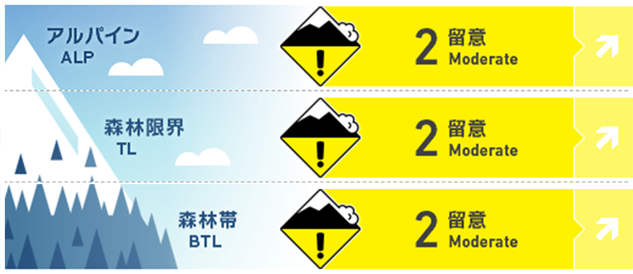
Niseko Yotei Yoichi Shiribeshi
Alpine Good
Treeline Good
Below Treeline Good
信頼度:○ good □ Fair △ Low
Travel and Terrain Advice
As the snow cover is in a cycle of thawing and freezing, the snow surface changes in a variety of ways, from stiff in the morning to wet and heavy during the day. What I want you to be careful about throughout the spring season is not to stay below the slopes with glide cracks. As we are in a melt-freeze cycle the snow surface will change from firm conditions in the Morning to wet and heavy in the heat of the day. Throughout spring be mindful of your location in relation to glide cracks and avoid time below.
Avalanche Problem
点発生湿雪雪崩 Wet Loose snow


F金曜日には凍結硬度がアルパインまで上昇する予報が出ていますので、方位を問わず、濡れた雪の点発生雪崩の可能性が高まります。この種類の雪崩は、時間のタイミングが鍵です。雪面の状態は短時間で、急激に変化する場合があることを覚えておいてください。急斜面や岩が露出している斜面などで、スノーボールを発見したら、それは雪面の雪が弱くなっている兆候ですので、注意してください。Freezing levels will rise into the alpine by Friday creating the possibility of wet loose activity on all aspects. Timing is critical when managing wet loose conditions and the snow surface conditions can change rapidly in a short period of time. Look for signs of roller balling in steep terrain or from rock features as an indicator that the snowpack is becoming weak.
概要
Avalanche
Yesterday (23rd), we received a report that there was a point generation wet avalanche at Iwaonupuri. The details are not clear, but the azimuth is northeast, and it is said that there is a possibility of spontaneous occurrence. We received some vague reports of a large wet loose avalanche on Iwaonupuri on the 23rd of March. This slide is reported to have possibly been triggered naturally on a NE aspect.
Snowpack
There was a snowfall of 15 cm in a short time at the beginning of the week, and it temporarily returned to winter, but from now on, it seems that we can expect spring-like conditions again. Snow cover is in a cycle of thawing and freezing, and if the freezing hardness rises to Alpine, it becomes wet snow and becomes a heavy situation. I think that rainfall predicted in the future will have a destructive effect on the middle to lower layers of snow cover. With a brief return to winter early in the week as we received over 15cm of new snow in a Short period of time, it looks like we can expect more spring-like conditions in the Coming days. The Snowpack is now in a melt-freeze cycle and as the freezing levels rise into the alpine The snow surface will become wet and heavy during the day. Any upcoming rain-on events will be destructive to the mid and lower pack.
Weather
Hokkaido will be covered by high pressure, but clouds will spread slightly, and there will be strong sunlight, but the wind is weak. The temperature will rise due to the entry of southerly winds, and freezing hardness is forecast to exceed an altitude of 1,000 m on the weekend. Hokkaido sits under a high-pressure system resulting in broken clouds with sunshine and Light winds. A southerly flow will bring warm air to the region raising the freezing level to above 1000m at the end of the week.


