
Avalanche Bulletin
更新日時: 2022/03/17 06:45
Kagura Tanigawa Hotaka
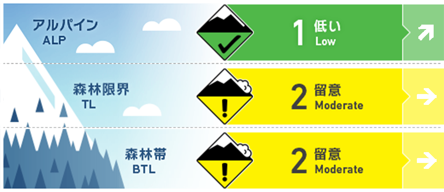
Alpine Fair
Treeline Good
Below Treeline Good
信頼度:○ good □ Fair △ Low
Travel and Terrain Advice
Since the cold has been weak for the past 4 days, the intensity of the snow cover has decreased. Be aware of the possibility of wet and snowpoint generated avalanches from large southerly steep slopes that are susceptible to elevated temperatures and solar radiation, and full-layer avalanches from open cracks or steep slopes. It is recommended not to enter the lower part of such places or to the bottom of the river, or to pass quickly.
Avalanche Problem
全層雪崩 Glide slab


グライドクラックの開いている場所や、極端な急斜面に注意
点発生湿雪雪崩 Wet Loose snow


規模が大きくなりやすい大きな急斜面に注意
概要
Avalanche
Yesterday, there was a report of observing a naturally occurring wet snow point avalanche size 2 on the southeast slope around 1800m.
Snowpack
The impact of the rainfall the other day was about 1800m above sea level. The surface of the snow cover melted in all directions, but it maintains strength at high altitudes. The cold has been weak for the past 4 days in the low elevation zone. A large number of clyde cracks have been observed on the steep slopes towards the south.
Weather
The temperature at AMeDAS Fujiwara as of 6:00 is 5.9 degrees Celsius. It doesn't get cold at night. According to the Japan Meteorological Agency's announcement at 5:00 on the 17th, it is forecast that it will be covered by high pressure, but it will be cloudy from time to time due to the influence of barometric valleys and moist air.