Avalanche Bulletin
更新日時: 2025/01/01 04:00
Hakuba
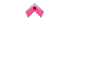
Alpine Low
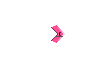
Treeline Low
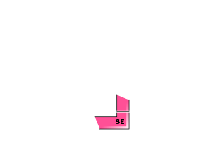
Below Treeline Fair
信頼度:○ good □ Fair △ Low

Travel and Terrain Advice
Terrain use will be important on this day. Wind slab formation is predicted on the east to southeast slopes, so observe and act accordingly around the ridge and snow cover. Yesterday, small avalanches of wind slabs and storm slabs were reported below treeline as well. So please look for signs and traces of new avalanches below treeline as well. Avoid terrain traps and use safe regrouping points. Since many people are expected to enter the mountain, carefully consider your position with other parties, respect each other, and have a good time on the mountain.
Avalanche Problem
ウインドスラブ Wind slab


Watch out for steep downwind slopes.
ストームスラブ Storm slab


Pay attention to the joining of new snow and old snow.
全層雪崩 Glide slab


概要
Avalanche
Yesterday (31st), several small sized induced slab avalanches were reported below 1900m. There were no reports from the higher elevation zones because of the bad weather.
Snowpack
The snowpack from the series of snowfalls that continued through the 29th proceeded with a steady settling process. On the surface, crusts formed on the sunlit slopes while the north face remained dry in the upper treeline. Yesterday, 30-50 cm of new snow cover was added on top of it. Below 900-1000 m elevation, the snow was wet with sleet for a short time. There are concerns about the joining of old snow and new snow.
Weather
Today, a high pressure pattern in the west and low pressure in the east is expected to continue, with a pressure trough and cold air. The Japan Meteorological Agency is forecasting a daytime high of 4 ºC in northern Nagano Prefecture, with cloudy skies and snow showers in some areas, but with occasional sunshine before noon. At 703 m elevation in Hakuba, Japan, the temperature is -3.5 °C (as of 3:00 pm), with a 24-hour snow accumulation of 14 cm.