
Avalanche Bulletin
更新日時: 2024/03/30 07:00
Niseko Yotei Yoichi Shiribeshi
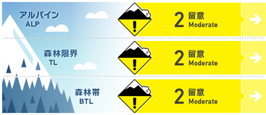
Alpine Low Last report of the season. The hazard rating and avalanche problems will no longer be updated as conditions change.
Treeline Low
Below Treeline Low
信頼度:○ good □ Fair △ Low
Travel and Terrain Advice
This is our last report of the season. As we move into Spring, we can anticipate a diurnal pattern to take hold with overnight freezes and day time warming softening the surface snow. In these cases, stability is typically good in the morning but will deteriorate through the day; however its important to note that with the low elevation of our mountains combined with warm weather patterns, it is often possible that temperatures will remain elevated overnight resulting in limited or no freezing of the snowpack and deeper penetration of heat. In these cases, multiple warm weather days and/or rain events can add up, greatly reducing the stability of the snowpack and increasing the likelihood of full depth glide avalanches, wet slab avalanches, and or cornice failures at all times of day. New snow is also possible this month in which case our common winter avalanche problems (storm slab, wind slab and Dry Loose) will re-appear. As always, conditions will continue to change with the weather and it will be important to verify conditions as you travel through the backcountry. Stay safe and have a great Spring! The JAN bulletin will return in December 2024 at the start of the next winter season.
Avalanche Problem
全層雪崩 Glide slab


The likelihood of glide slab avalanches increases as temperatures rise, during rain events and during periods of time when the snowpack does not re-freeze.
ウインドスラブ Wind slab


Up to 10cms of new snow accompanied by moderate to strong west wind is expected later this afternoon. The new snow will be re-distributed to leeward slopes where wind slab can be expected to form.
概要
Avalanche
No new avalanches have been reported however we had limited field observations during the rain event.
Snowpack
Periods of rain and warm weather over the past 48 hours have saturated the upper snowpack at all aspects and elevations. A rain crust will develop on the snow surface as freezing levels drop back down today.
Weather
Light rain will taper off this morning as the freezing levels drop back down close to valley level through the day. A period of moderate snowfall is expected later this afternoon and will be accompanied by a moderate to strong West wind. Tomorrow will bring a mix of sun and cloud with a chance of the occasional snow flurry. The week ahead will see mostly clear weather with freezing levels rising during the day time and dropping back to valley level overnight. Occasional light precip and moderate to strong west winds can be expected through most of this period.


