
Avalanche Bulletin
更新日時: 2024/03/01 05:30
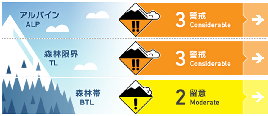
Myoko
Alpine Low Watch out for wind and snowfall intensity
Treeline Low Watch out for wind and snowfall intensity
Below Treeline Fair Watch out for wind and snowfall intensity
信頼度:○ good □ Fair △ Low
Travel and Terrain Advice
Avalanches caused by poorly cohesive snow can also occur in forests. When loose snow avalanches occur on hard snow surfaces, they tend to have a long flow distance. And even small avalanches can be fatal to trees if caught in them. Although snowfall amounts are not very heavy, people should be alert to avalanche danger, even in the forests. In addition, snowfall will intensify due to the winter pressure pattern. Please pay attention to the strength of wind and snowfall.
Avalanche Problem
ストームスラブ Storm slab


Due to the diverse snow surface conditions of the old snow, the ease of triggering varies from place to place, making the conditions difficult to recognize. In addition, snowfall is forecasted due to the winter pressure pattern. Winds will also increase, so the danger level of storm slab will increase. On the main ridge, the wind has already shifted to the west.
点発生乾雪雪崩 Dry Loose snow


Avalanches caused by weakly coherent snow can also occur in forests. Even small avalanches can be fatal to trees if caught in them.
全層雪崩 Glide slab

Watch for glide avalanches in low elevation areas where precipitation from last night has turned to rain, not snow. Stay away from slopes with glide cracks.
概要
Avalanche
Yesterday (February 29), a size 1.5-2 wind slab avalanche was observed that appears to have occurred within the past 24 hours. In addition, several size 1 wet loose avalanches were reported due to elevated temperatures during the day.
Snowpack
The new snow from last night is on a ice layer (formed by rainfall on the 21st) in areas where the wind is very strong, on a snow surface that has advanced sintering in areas affected by yesterday's solar radiation, and on dry old snow in areas not affected by the wind to the north. The condition of the old snow surface is diverse and the sensitivity of the triggering varies accordingly.
Weather
Today, the area is expected to be affected by a low pressure system moving east-northeastward along the southern coast of Honshu and a pressure trough moving southward from the Sea of Japan. The Japan Meteorological Agency is forecasting southerly winds, then northwesterly winds, a little stronger, rain or snow, and daytime high temperatures of 10 °C (13 m elevation) for the Joetsu area of Niigata Prefecture. At Sasagamine, Myoko (elevation 1,310 m), the temperature is -2 °C (as of 4:45 a.m.), and 19 cm of snow has fallen in the past 12 hours.