
Avalanche Bulletin
更新日時: 2023/01/26 06:00
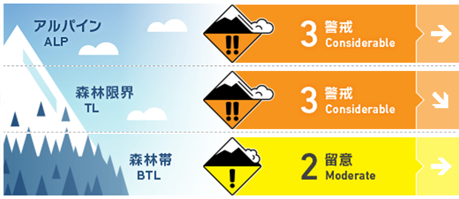
Kagura Tanigawa Hotaka
Alpine Low
Treeline Low
Below Treeline Fair
信頼度:○ good □ Fair △ Low
Travel and Terrain Advice
Strong winds are expected to expose old snow and crusts on windward slopes, forming localized wind slabs on leeward slopes and gully bottoms. Be careful to avoid triggering freshly formed wind slabs on steep slopes. Be aware of avalanches from large start zones overhead, even if you are on a low slope yourself. Exposed "terrain traps" such as deep gullies, cliffs, rocks, and standing timber that can increase damage even if the size of the generated avalanche is small
Avalanche Problem
ウインドスラブ Wind slab


Beware of bonding wind slabs on steep slopes.
概要
Avalanche
No new avalanches were reported yesterday, but visibility was poor and few people entered the mountain.
Snowpack
Snowfall accompanied by very strong winds from the west to the northwest has left the old snow bare even within the treeline at wind-sensitive locations, forming 50-80 cm blowholes on the leeward side. In areas above 1,700 m elevation, caution should be exercised with regard to the reported faceting within the old snow and the bonding of snowfall during this stormy weather.
Weather
As of 6:00 am, there was some new snowfall in the area around Amedas Fujiwara, but it was blown away by the strong wind. The Japan Meteorological Agency is forecasting that the winter pressure pattern will loosen and a high-pressure system centered in the south of Japan will cover the area, but due to the influence of cold air, it will be sunny and cloudy from late afternoon in the foothills of northern Gunma Prefecture, with some snowfall in places.