
Avalanche Bulletin
更新日時: 2022/03/17 07:00
Niseko Yotei Yoichi Shiribeshi
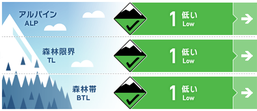
Alpine Good
Treeline Good
Below Treeline Good 昇温することで点発生湿雪雪崩のポテンシャルはあります。Potential for wet loose activity as temperatures climb above freezing.
信頼度:○ good □ Fair △ Low
Travel and Terrain Advice
Rising temperatures and rainfall have a significant impact on the choice of terrain. During the day, if the snow surface gets wet enough as the temperature rises, the possibility of a point-generated wet snow avalanche increases. It is difficult to predict when an Glide avalanche from a glide crack will occur, but if it does, it will have tremendous destructive power because all the snow cover will flow. Avoid going under glide cracks throughout the spring season. Temperature and the potential for rain on snow will have a major impact on our terrain Travel choices. As the surface conditions become wet and heavy during the heat of the day the potential for wet loose activity will grow. Glide crack avalanches are very hard to forecast for when they may release however when They do a failure in the full seasonal snowpack generally occur and can be very destructive. Avoid anytime below them throughout spring.
Avalanche Problem
点発生湿雪雪崩 Wet Loose snow


積雪は、春の訪れと共に、融解凍結サイクルに入っており、今後もこれが続くでしょう。気温がプラスになれば、雪面の雪は強度を失い、濡れた雪の点発生雪崩が起こりうるようになります。スノーボールの発生は、雪面の雪の強度の低下を示す兆候なので、別の斜面を選択しましょう。グライドクラックからの大規模な雪崩は、特に降雨の際に起こりやすくなりますので、そうした斜面は避けてください。We have now entered a spring melt-freeze cycle which will continue for the rest of the season. Any day that temperatures rise above freezing the possibility of wet loose avalanche activity will exist. Wet loose activity is a surface instability, snowballs rolling down a slope naturally(rollerballing) is a sign the surface is becoming weak and you should move onto a different aspect. Large scale avalanches from glide crack failures can happen at any time especially if we receive a rain on snow event and should be avoided.
概要
Avalanche
No new avalanches have been reported. No new avalanche activity has been reported.
Snowpack
As mentioned above, snow cover is in a cycle of thawing and freezing. There has been a snowfall of about 5 cm in the past few days, and it rests on the previous hard snow surface. From the upper layer to the middle layer of the snow cover, it is in a well-tightened state. As mentioned a melt-freeze cycle is in effect across the backcountry we received up to 5 CM of new snow over the last few days that overlies the previous temperature affected firm SNOW. The upper to mid-pack remains well bonded at present.
Weather
Short sunny days and some snowfall are forecast for the next few days. The northwest wind is weak, and the freezing altitude will rise to 300 m. Over the next few days, we are expecting brief periods of broken sunshine and low-volume Snow showers. Winds speeds from the northwest will be low and the freezing level will rise up to 300m during the day.


