
雪崩情報
更新日時: 2022/03/19 07:00
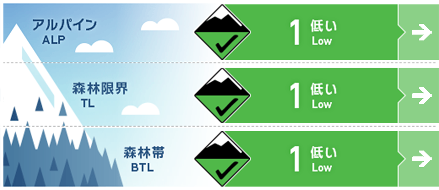
ニセコ・羊蹄・余市・尻別
アルパイン Good
森林限界 Good
森林帯 Good
信頼度:○ good □ Fair △ Low
行動と地形の助言
雪崩情報の発表地域では、一般的な春のコンディションが続いています。多少の降雪が雪面状況を少し改善しましたが、雪崩の条件としてはほとんど変化していません。この週末の降雪が15 cmを超えるようでしたら、旧雪との結合状態に注意を払ってください。We continue to see regular spring-like conditions across the region at present. Brief snow showers have improved the snow surface however conditions mostly remain variable. If snow showers over the weekend produce volumes greater than 15cm be wary of the bond to the old snow surface.
留意すべき雪崩
点発生湿雪雪崩 Wet Loose snow


春に向かって凍結高度が上がっていますが、この後、北風が吹く予報が出ていますので、雪面は冷やされたままとなります。日射が出た場合、その影響を強く受ける南斜面で、雪面の強度が低下している兆候を探してください。濡れた雪の点発生雪崩は、小さくとも密度が高く、とても重いので重大な結末を招く可能性があります。It is expected that northerly winds over the coming days will keep the snow surface cooled although freezing levels are rising as we continue into spring. Look for signs that the surface is heating over the coming days especially on southerly aspects if we receive periods of sunshine. Wet loose avalanches if released are heavy and dense and can have high consequences.
概要
雪崩
新しい雪崩は観察報告されていません。no new activity has been reported
積雪
過去数日の多少の降雪が日射の影響を受けた硬い雪面に載っています。ただ、この降雪は不安定になるほどの量となってはいません。積雪中層から下層の変化は見られず、標高の低い場所での一般的な春の積雪と同じです。Snow showers over the last few days have seen new snow fall onto a firm surface that has been heat and sun affected. This latest snowfall has not accumulated enough to create instability at present. The mid to lower pack remain unchanged and is resembling a normal spring snowpack at lower elevations.
天候
低気圧が東へ移動するに合わせて、週末は降雪が予報されています。日曜には北風は風速を増し、稜線付近では強風に近くなるとのことです。We are expecting the possibility of snow showers over the weekend as we feel the effect of a low-pressure system moving to the northeast. On Sunday northerly winds should increase in speeds possibly as high as gale in the morning at higher elevations around ridgelines.


